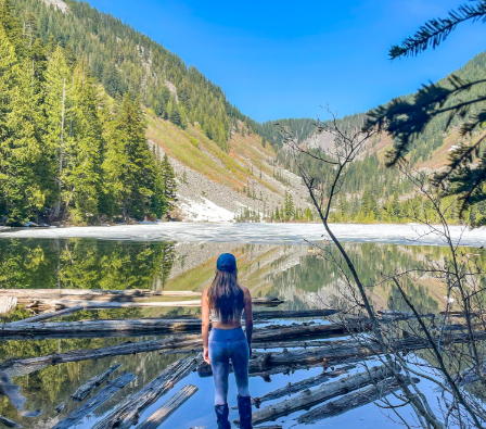


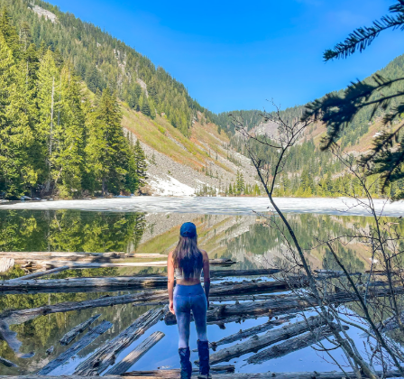


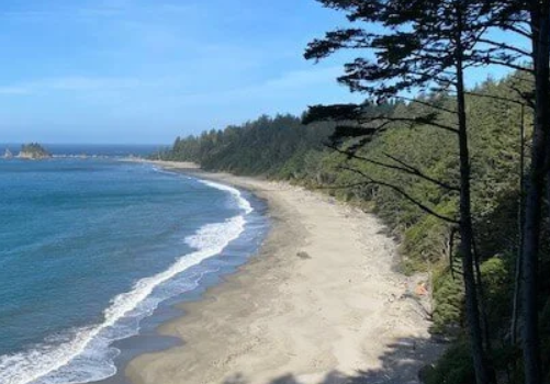
The South Coast Wilderness Trail (SCWT) is one of Washington’s best-kept secrets, offering a unique and unforgettable backpacking experience along the Pacific Ocean. But, this is not a hike to be taken on a whim. To truly enjoy and tackle this coastal gem, proper planning is essential. With the right amount of preparation, your adventure will undoubtedly become one of your favorite Pacific Northwest experiences.
Here’s your complete guide to planning your SCWT trip, from choosing the best route to understanding tide charts and packing the right gear.
Trail Overview
- Distance: 17.5 miles
- Elevation Gain: 1,920 feet
- Difficulty: Moderate
- Best Time to Hike: May to September
- Area: Olympic Peninsula
Step 1: Choose Your Route
The SCWT offers two primary route options, each offering a unique experience. Your decision will affect how the rest of your hike unfolds.
North to South (Third Beach to Oil City)
This route starts with more beach terrain and ends with a more forested section. If you want a gradual build-up to the tougher sections, like the boulders at Jefferson Cove, this is the route for you. Ending at Oil City provides a more secure place to park, and you’ll have a nice place waiting for you to rest at the end.
South to North (Oil City to Third Beach)
Starting with the challenging boulders of Jefferson Cove might seem intimidating, but it means the harder portions are behind you early. The rest of the hike offers more relaxing beach views, and you’ll end your journey on a high note. However, be mindful of Third Beach, as break-ins at this trailhead are somewhat common.
Step 2: Permits & Campsites
Permits are a must for this trail. You’ll need to reserve a wilderness permit through Recreation.gov. During the permit process, you’ll also choose your campsites, but don’t worry if you change your mind later. While it’s recommended to have a general campsite in mind to ensure safety and comfort, you’re not locked into your choice.
For the first night, Strawberry Point and Toleak Point are great choices. They offer a relatively short hike of 6-7 miles and plenty of scenic camping spots with easy access to water. If you’re feeling energetic, you can push a bit further and continue on to Toleak Point for an even more scenic sunset view.
On the second day, Mosquito Creek is a wonderful stop with beach and forest camping options. It offers a break from longer miles and gives you a chance to relax and enjoy the surroundings.
Step 3: Understanding Tide Charts
The SCWT is unique in that tide conditions play a crucial role in your ability to cross certain sections of the trail. Understanding tide charts is vital for success on this trail.
You need to plan your crossings when the tides are low enough to safely navigate the rocky beaches and creek crossings. Here’s a basic breakdown of how to read tide charts:
- High tide: Water is closest to shore.
- Low tide: Water is further from shore, exposing rocks and beaches.
For safe passage, you’ll want to aim for a tide between 2.0 and 4.0 feet. To prepare, download tide charts for your trip and highlight the times that fit within this window. Be sure to factor in your hiking speed (around 25-35 minutes per mile, depending on terrain and pack weight) and plan your route to reach tide crossings when they’re passable.
Step 4: Make a Detailed Plan
Once you’ve decoded the tide charts, it’s time to plan out your hike. Decide on your pace and how many miles you can comfortably cover in a day, keeping the tide windows in mind.
For example, if you’re hiking from Scott’s Bluff to Strawberry Point, and you know the low tide is between 7 a.m. and 2 p.m., you’ll want to make sure you reach Scott’s Bluff by no later than 1:30 p.m. This will allow enough time to cross safely, with some buffer just in case.
This stage requires a lot of back-and-forth planning to align your hiking distance with the tide schedule. But the payoff is a smooth, well-timed trip where you’re not rushing to beat the tides.
Step 5: Plan Your Transportation
Getting to the trailhead and arranging transportation for a through-hike is a key part of the planning process.
- By car: From Seattle, the drive is about 3.5 hours via I-5 and Highway 101. But depending on where your hike starts and ends, you might have to drive even further to reach certain trailheads.
- By ferry: If you’re feeling adventurous, consider taking the ferry from Edmonds Terminal to Kingston Terminal. While not faster, it’s a quintessential Pacific Northwest experience and gives you a chance to relax and enjoy the journey.
- Shuttle: Since this is a point-to-point hike, consider using a shuttle service. You can either leave your car at one trailhead and take the shuttle to the other, or use two cars and shuttle yourselves between the starting and ending points. If possible, I recommend leaving your car at the Oil City trailhead (safer parking) and taking the shuttle to Third Beach to start your hike.
Step 6: Pick Up Your Permit
Once you’ve made your transportation plans, it’s time to grab your wilderness permit. This must be done in person at the Wilderness Information Center (WIC) in Port Angeles. The staff at the WIC can provide valuable insight into trail conditions, bear safety, and tide timing. If you’re unable to pick up your permit in person, you may be able to arrange a phone interview for permit approval.
Packing List
Here’s a checklist of essential items to bring on your South Coast Wilderness Trail hike:
Essentials:
- Bear canister (required for food storage)
- Tide chart and topographic map (printed)
- Water purifier
- Tent with rain cover
- Sleeping bag and pad
- Camp stove and fuel
- Cooking utensils and food
- First-aid kit
- Hiking boots and weather-appropriate clothes (wool socks, rain jacket, etc.)
- Headlamp
- Toiletries and hygiene items
Nice to Have:
- Waterproof sleeves for maps
- Gloves for rope climbing sections
- Camp chair
- Fire starters (Vaseline-soaked cotton balls are ideal)
- Journal/book
- Sandals for camp
Luxuries:
- Beer (if you’re into it)
- Hammock
- Camera for capturing the breathtaking views
Final Thoughts
Planning the South Coast Wilderness Trail may require some effort, but the payoff is well worth it. With stunning coastal views, remote campsites, and the thrill of managing tides and topography, this trail offers a backpacking experience unlike any other in Washington. Take your time to prepare, and you’ll be rewarded with one of the most spectacular hikes in the Pacific Northwest. Happy hiking!